![]()
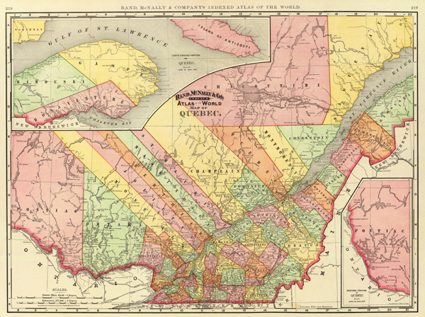
New Business Atlas Map of Quebec, 1892
Historic maps, such as this one, provide the investigating genealogist with a valuable resource. Villages become absorbed into local cities and towns as they grow. Historic maps provide the genealogist with the geographic references of his or her ancestors residences. This full-color reprint map of Rand, McNally & Co.'s New Business Atlas Map of Quebec, 1892, depicts the counties of Quebec in various colors, with railroad lines and stops, villages, towns and cities, lakes, and rivers. The reduced scale of this map is approximately 1"=33 miles. 24"x17" Full-color on premium bond paper - our price: $11.75 - | |
|
| |